Hiking
Declination and Map Orientation on Skurka Adventures
Skurka Adventures is the site of long-distance hiker and guide Andrew Skurka, and this page covers the two setup steps most people skip: adjusting a compass for magnetic declination, and orienting a paper map to the ground in front of you.
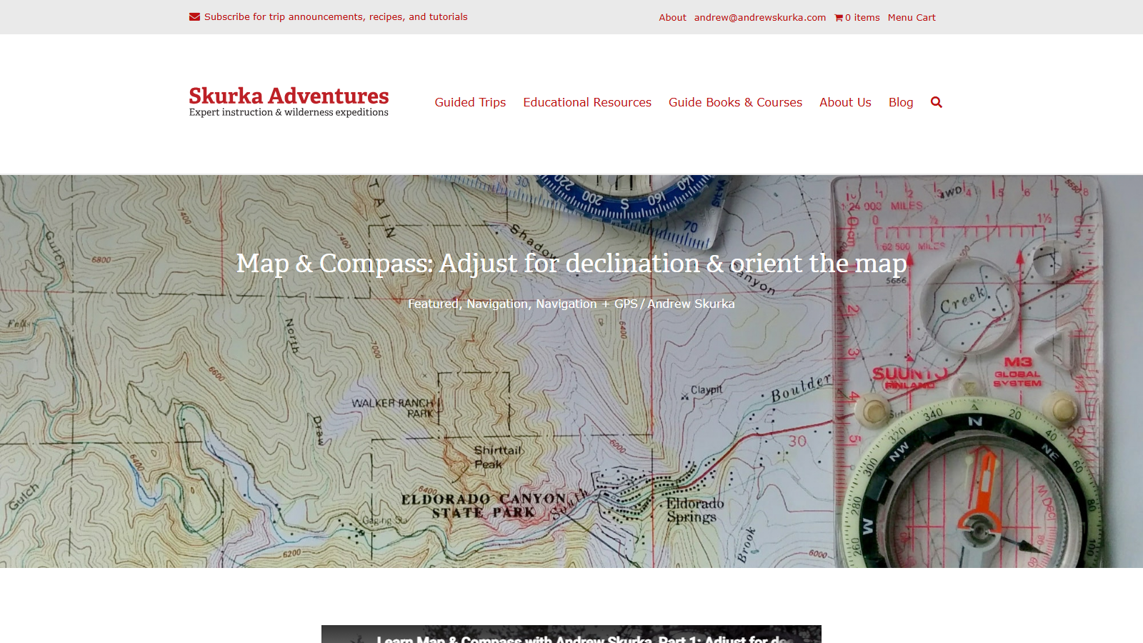
The explanation starts with why declination exists and why it varies depending on where you are standing, then splits the instructions by the compass you own. If your baseplate compass has a declination adjustment — the photos show a Suunto M3 Global among the models on the table — you set it once and can then read straight off the map. If it does not, Skurka gives the arithmetic workaround you have to redo every time instead. The map-orienting section is the practical payoff: lay the compass edge or the meridian lines along a north-south grid line, turn yourself and the map together until "red is in the shed", and the paper finally matches the terrain.
It runs to roughly a thousand words, with instructional photos and short embedded video segments, so you can work through it in one sitting. The scope is narrow, though: taking and following a bearing gets only a passing mention here. And because declination values drift over the years, look up the current figure for your area rather than reusing a number printed on an older map or page.