webtrail Brian · My field notebook for trails and the web
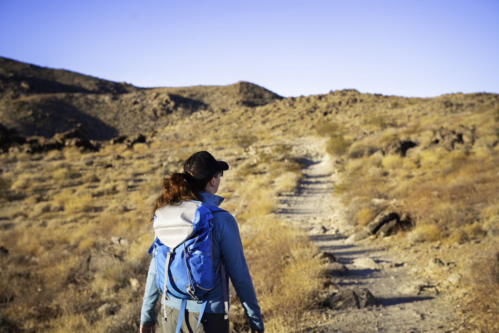
A woman in a blue jacket and cap, seen from behind, carries a blue-and-white daypack up a rocky sunlit desert trail through dry brush toward a low ridge under a clear sky.
3 September 2026 · 3 stops

Day Hiking, Properly Equipped: Kit and Skills That Matter

Most miserable day hikes are not a fitness problem. They are the litre of water you rationed because you were not sure about the creek, the bearing taken off a map nobody adjusted for declination, the layer buried at the bottom of the pack when the wind got up. On a day out you carry less margin than on an overnight, so each of those small judgement calls lands harder.

What follows is a set of references for closing specific gaps, not an introduction to the activity. Between them they cover where things ride in a pack rather than only what goes in it, how to pick a water treatment method before picking a model, and how to set declination and orient a map so the paper and the ground finally agree. None of them is comprehensive and none of them needs to be. They are the places where a little technique replaces a lot of carrying, and where the usual advice tends to stop at naming a product instead of explaining the choice behind it.

Read them through, or raid them for the one you are missing.

This post references third-party websites for informational purposes only. webtrail does not host, own, or claim any rights over the content of the linked sites. All screenshots are used for illustrative purposes and link back to their original source.

The stops

3 sites, each opened and read
01
the-hungry-hiker.com
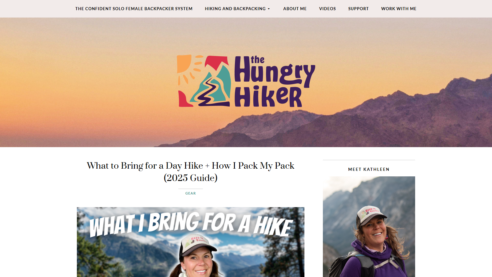
The Hungry Hiker blog header with a colorful logo over a sunset mountain ridge, above the article headline 'What to Bring for a Day Hike + How I Pack My Pack (2025 Guide)', a 'What I Bring for a Hike' featured image of the author smiling in a trucker cap, and a 'Meet Kathleen' author photo in the sidebar

Hiking

Day Hike Packing List and Pack Setup from The Hungry Hiker

day hike hiking gear packing list ten essentials

The Hungry Hiker is Kathleen Neves's hiking blog, and her 2025 day-hike guide earns its catalog spot by answering the question that stalls most beginners: what actually goes in the pack, and where.

Kathleen writes for people planning their first solo day hike, and the guide reads that way — reassuring and specific, built around her own kit rather than a generic checklist. She names exactly what she carries, including a Gossamer Gear Loris 25 pack, a Garmin inReach Mini 2 satellite communicator, and a Sawyer Squeeze water filter, so you're looking at real gear choices instead of vague category labels.

The "how I pack my pack" half is what sets the guide apart: she walks through where everything rides in the pack, which is the part most packing lists skip and the part you'll be glad of at the trailhead. The list tracks the classic ten essentials along the way.

One honest trade-off: the recommendations follow a single hiker's setup, so treat them as a template to adapt rather than a universal rule — Kathleen's picks reflect her own trails and seasons, and yours may differ. As a starting point for a first solo day hike, it's one of the more approachable guides you'll find.
02
sectionhiker.com
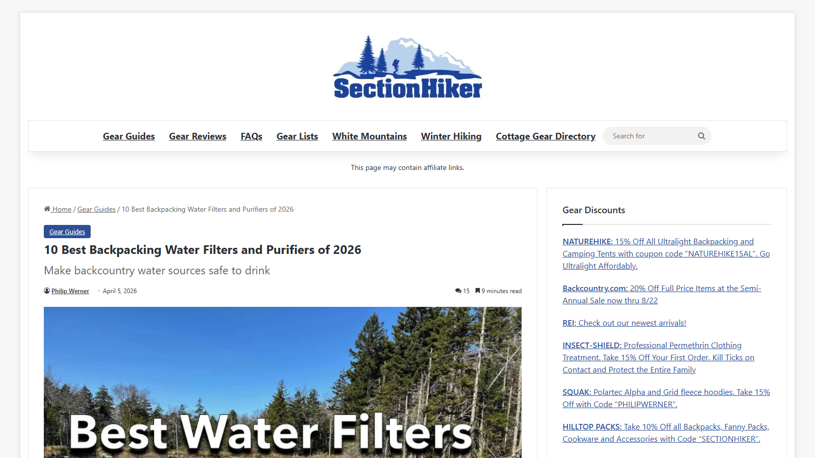
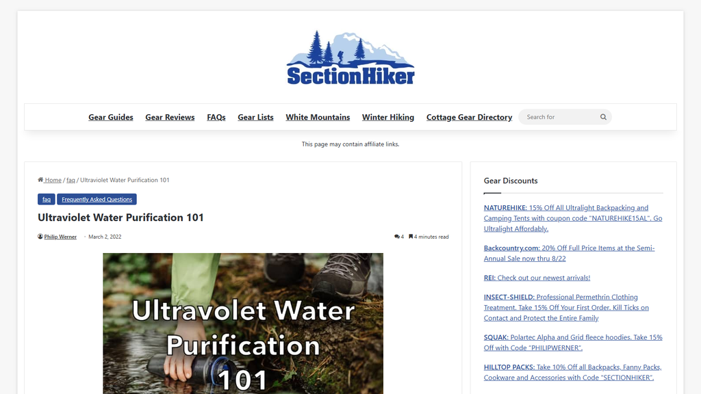
SectionHiker article page headed '10 Best Backpacking Water Filters and Purifiers of 2026' with the subhead 'Make backcountry water sources safe to drink', bylined Philip Werner and dated April 5, 2026, above a lead photo of a sunlit conifer forest under a blue sky overlaid with the words 'Best Water Filters'

Hiking

10 Best Backpacking Water Filters and Purifiers of 2026

backpacking hiking gear water filters water treatment

SectionHiker is Philip Werner's independent hiking site, and this gear guide is its standing answer to a practical problem: how to make backcountry water sources safe to drink. Werner dated the current version April 5, 2026, and the page is flagged as a nine minute read.

Rather than stopping at a ranked list, the guide works through the treatment methods themselves — squeeze and hollow-fiber filters, chemical treatment, and ultraviolet purification — with practical usage guidance attached to each. That structure is what earns it catalog space. Whether you want a filter or a purifier depends on where you are hiking and what you are trying to remove, and this page covers both categories instead of assuming one answer suits every trip.

Werner keeps a separate FAQ explainer devoted to the ultraviolet method, published March 2, 2022 and tagged under the site's Frequently Asked Questions section, if you want that one approach in more depth before deciding whether a UV pen belongs in your kit.

Two honest limits. It is a ranked roundup fixed to early 2026, so the specific models it names will age faster than the method comparison around them; read it for the categories rather than as a current shopping list. The page also carries affiliate links, which SectionHiker discloses in a line above the article.

03
andrewskurka.com
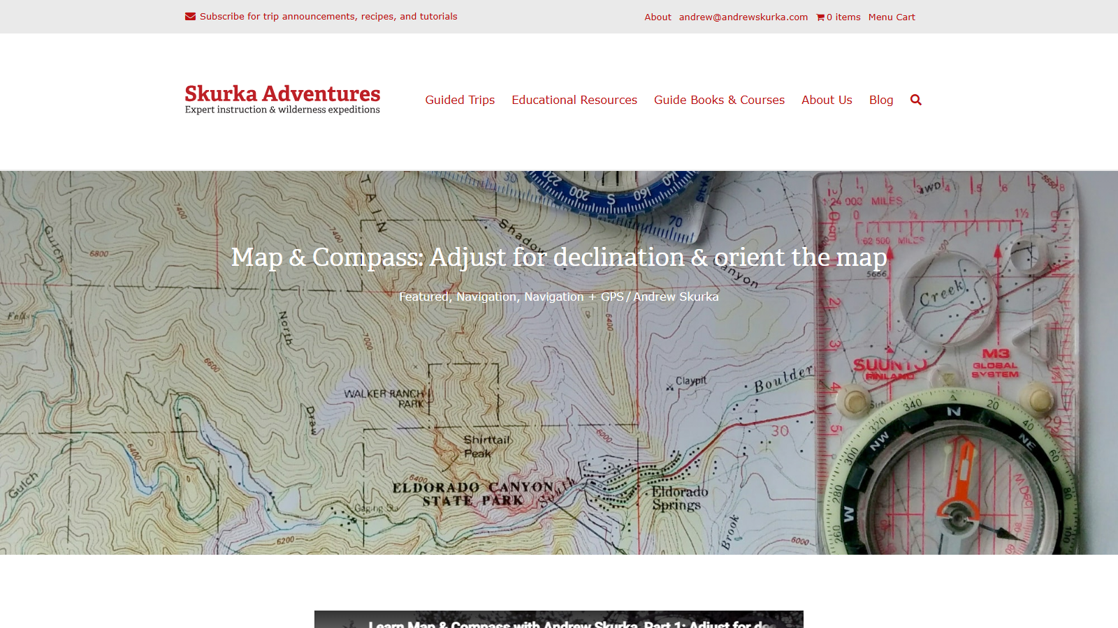
The Skurka Adventures site header in red serif type, tagline "Expert instruction & wilderness expeditions", with a navigation bar reading Guided Trips, Educational Resources, Guide Books & Courses, About Us and Blog, above a full-width photo of a USGS topographic map of Eldorado Canyon State Park with two baseplate compasses laid on it: a Suunto M3 Global with an orange magnetic needle at right and a blue-bezelled compass at top. The article headline "Map & Compass: Adjust for declination & orient the map" is overlaid in white across the map, with the byline "Featured, Navigation, Navigation + GPS / Andrew Skurka" beneath it.

Hiking

Declination and Map Orientation on Skurka Adventures

backcountry skills declination map and compass navigation

Skurka Adventures is the site of long-distance hiker and guide Andrew Skurka, and this page covers the two setup steps most people skip: adjusting a compass for magnetic declination, and orienting a paper map to the ground in front of you.

The explanation starts with why declination exists and why it varies depending on where you are standing, then splits the instructions by the compass you own. If your baseplate compass has a declination adjustment — the photos show a Suunto M3 Global among the models on the table — you set it once and can then read straight off the map. If it does not, Skurka gives the arithmetic workaround you have to redo every time instead. The map-orienting section is the practical payoff: lay the compass edge or the meridian lines along a north-south grid line, turn yourself and the map together until "red is in the shed", and the paper finally matches the terrain.

It runs to roughly a thousand words, with instructional photos and short embedded video segments, so you can work through it in one sitting. The scope is narrow, though: taking and following a bearing gets only a passing mention here. And because declination values drift over the years, look up the current figure for your area rather than reusing a number printed on an older map or page.

End of trail

← All trails